
Screenshots
About Wind Vector Mini
The wind, in your menu bar.
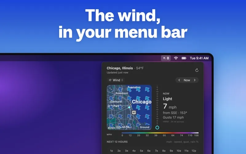
Wind Vector Mini shows the wind where you are as an arrow and a speed in your Mac's menu bar, like ↗ 12, or just the logo. Click it for the rest.
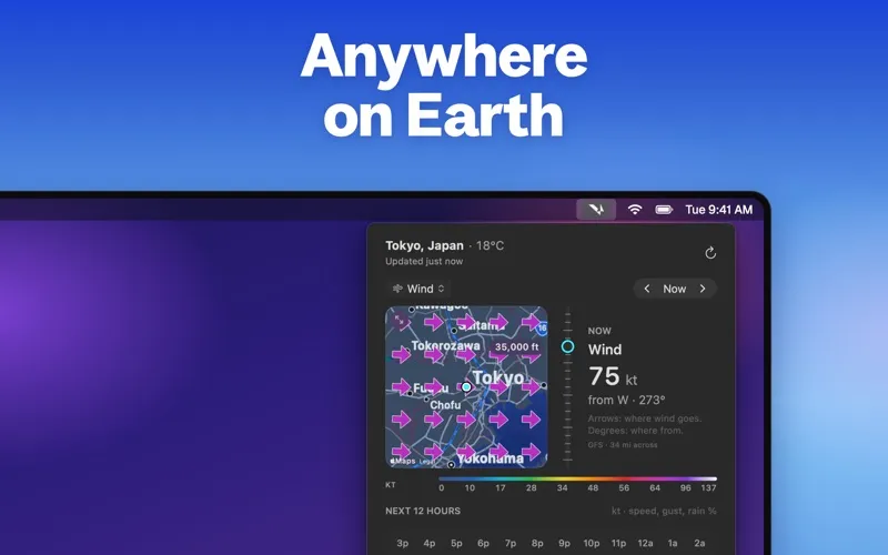
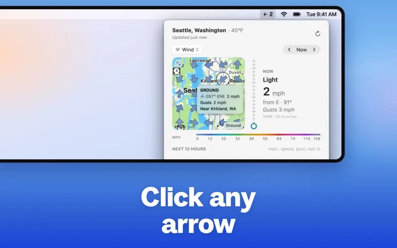
Wind map: an Apple map of the 34 miles (55 km) around you with 25 wind arrows colored by speed. Click any arrow for its speed, direction and the nearest town. Open the map full screen in its own window and step to neighboring areas.
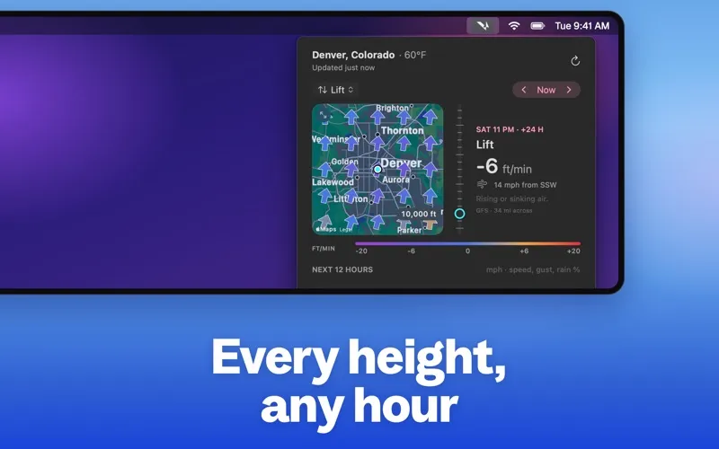
Conditions by altitude: every 2,500 ft from the ground up to 45,000 ft, in seven views: • Wind: direction and speed • Temp: temperature and dew point • Shear: how fast the wind changes with height • Veer: how far the wind turns with height • Lift: rising or sinking air • Humidity: relative humidity and dew point • Clouds: cloud cover at each level
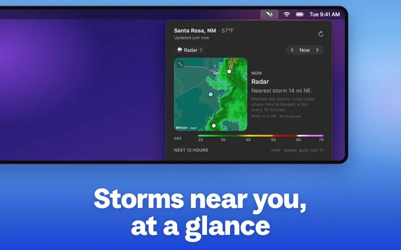
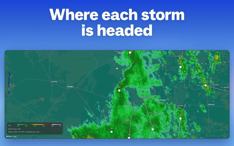
Radar and storms: in the US, the nearest NEXRAD radar, storm cells and their projected tracks, and NWS Tornado and Severe Thunderstorm Warnings. A heads-up shows when a storm is headed your way.
Forecast hours: from the start of yesterday to three days ahead, hour by hour, plus the next 12 hours of wind, gusts and chance of rain.
Data: forecasts come from NOAA, with the HRRR model near the ground in the US and the GFS model higher up and worldwide. Chance of rain from Open-Meteo. Units in mph, km/h or knots.
Privacy: no account, no tracking, no analytics.
Wind Vector Mini shows forecasts, not observations. Not for aviation or navigation.