PopGIS
GeoJSON Maps + GIS
PopGIS is a GeoJSON viewer and editor for your Mac, suited to you if you need to inspect geographic datasets, find specific features, and correct their properties.
by FreshBizOpps, LLC
What you get
See your GeoJSON data on a map and correct property errors.
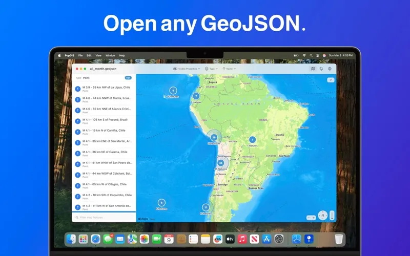
PopGIS gives you a map-based way to inspect geographic data on your Mac. You can open RFC 7946-compliant .json and .geojson files or import datasets from web feeds, APIs, and public sources. Support for files of 250 MB and larger lets you inspect sizable datasets.
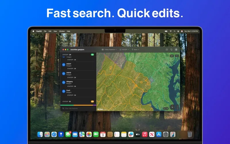
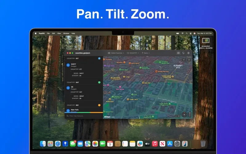
You can search and filter geographic features by their properties to find the records you need, then edit individual property values to fix mistakes. Pan, tilt, and zoom let you examine locations against Apple Maps satellite imagery or vector maps, giving you geographic context alongside the data.
If your work involves checking GeoJSON records and correcting their attributes, you get a focused place to do both. You can also use the app without ads, tracking, or data collection.
-
See data in context
You can inspect geographic features against Apple Maps satellite imagery and vector maps.
-
Find relevant records
You can narrow a dataset by searching and filtering feature properties.
-
Correct property errors
You can edit individual attribute values when you spot mistakes in your geographic records.
-
Inspect large datasets
You can open GeoJSON files of 250 MB and larger.
-
Avoid tracking
You can work without ads, tracking, or app data collection.
Best for
- You need to inspect GeoJSON datasets on your Mac
- You need to find and correct geographic record properties
- You work with geographic data from APIs or public sources
Skip it if
You don't need it if you only want to look up places or get directions rather than inspect GeoJSON data.
Screenshots
From the developer
PopGIS is the simplest tool to view and edit GeoJSON files on your Mac. Open and edit geospatial datasets on your Mac using RFC 7946 compliant .json and .geojson files - import data from web feeds, APIs, and public data sources.Read the full description
Alternatives to PopGIS
Other apps to analyze data. See all