PredictWind Offshore Weather
PredictWind Offshore Weather gives you marine forecasts and weather-based route planning for coastal and offshore passages, including downloads suited to limited connections at sea.
by PredictWind Limited
What you get
You can plan your passage around marine forecasts and departure conditions.
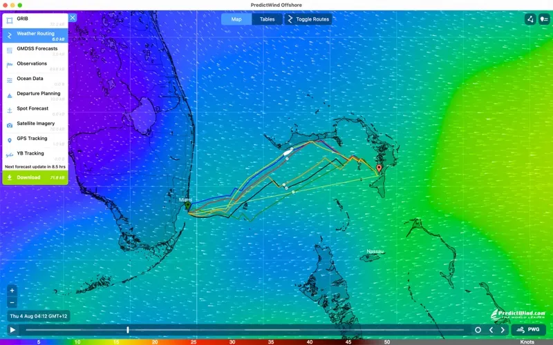
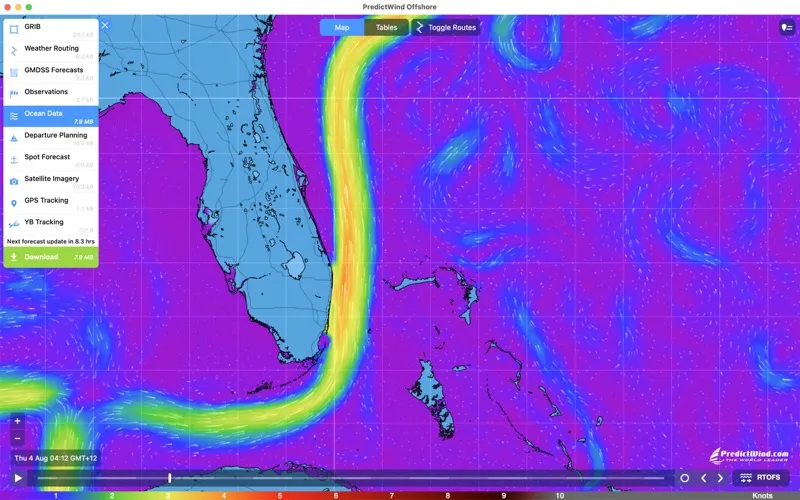
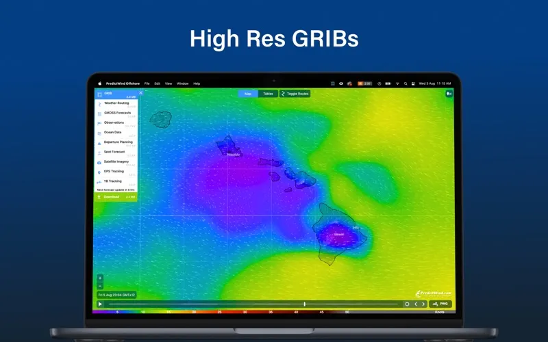
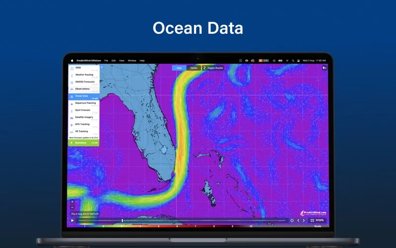
You get a weather picture for your coastal or offshore passage, rather than just a forecast for one location. You can download forecast data as GRIB files, compare models including ECMWF, UKMO and GFS, and examine wind, ocean currents, tidal currents and sea temperature. Maps, tables and graphs help you assess how conditions may change along your journey.
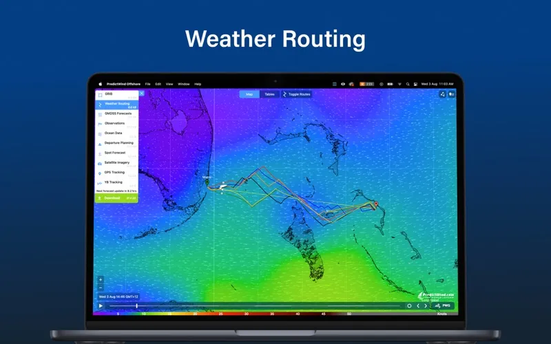
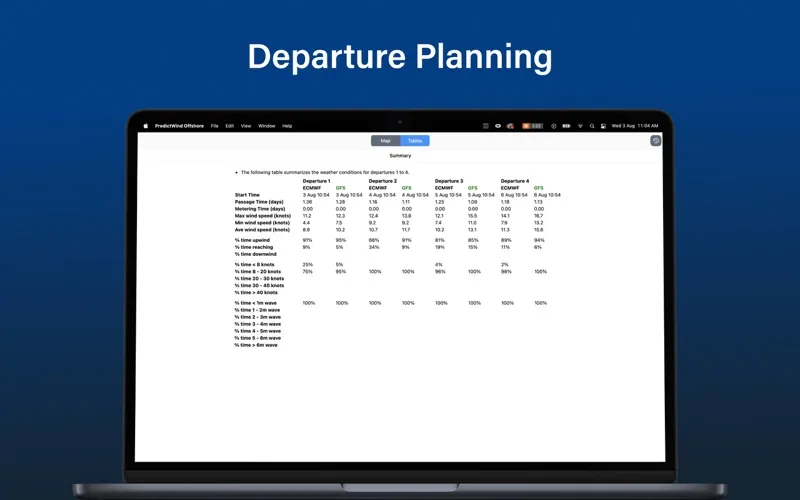
You can use weather routing and departure planning to weigh your route and timing. Calculations happen in PredictWind’s cloud, with the resulting route returned as a small file suited to low-bandwidth satellite or SSB connections. You can also download data over Wi-Fi, mobile networks and supported satellite setups.
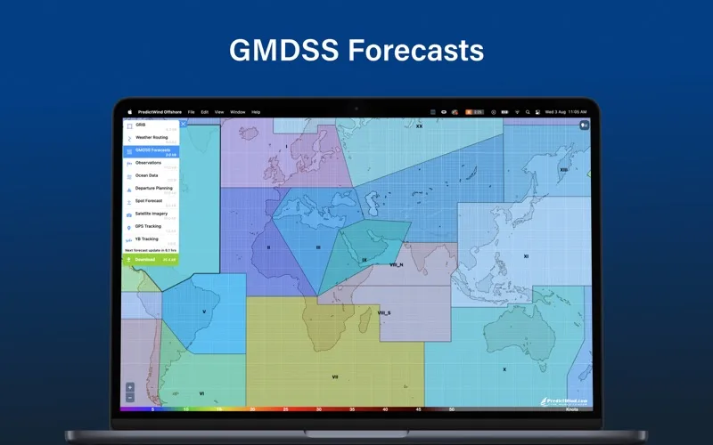
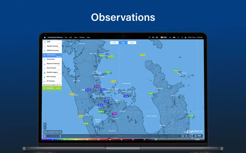
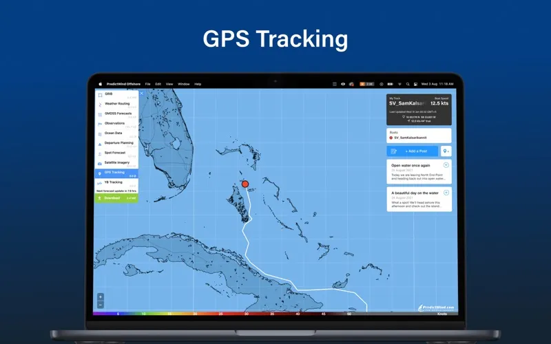
For a fuller picture, you can check live observations, destination forecasts, satellite imagery and official GMDSS marine forecasts in text or map form. AIS vessel data adds information about other boats, while a customized GPS tracking page lets you share your progress on your blog or website.
-
Compare forecast outlooks
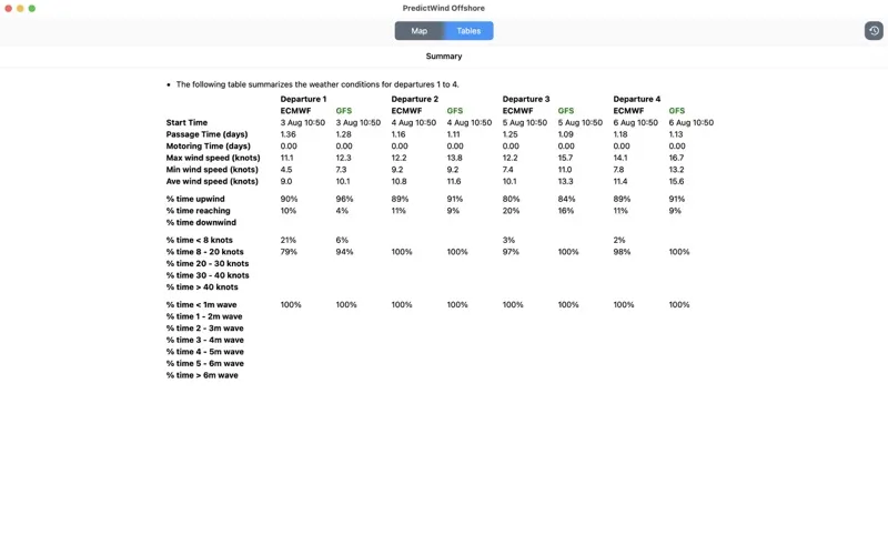
You can examine multiple weather models to see how their predictions differ before choosing your passage plan.
-
Choose your departure timing
You can use weather-based routing and departure planning to assess when to leave and which route to take.
-
Receive routes over limited connections
You get cloud-calculated routes as small files suited to low-bandwidth satellite or SSB connections.
-
Understand conditions at sea
You can review wind, currents, sea temperature and live observations alongside the forecast for your destination.
Best for
- You’re planning a coastal sailing passage
- You’re preparing for an offshore crossing
- You need marine forecasts over a limited connection
Skip it if
You don’t need it if you only want everyday local weather and have no use for marine forecasts or passage planning.
Screenshots
From the developer
The Offshore App allows you to seamlessly download multiple GRIB files for your coastal and offshore passages. Quickly download and view GRIB files, weather routes, GMDSS maps and text forecasts, AIS data and satellite imagery.Read the full description
Alternatives to PredictWind Offshore Weather
Other apps to check the weather. See all